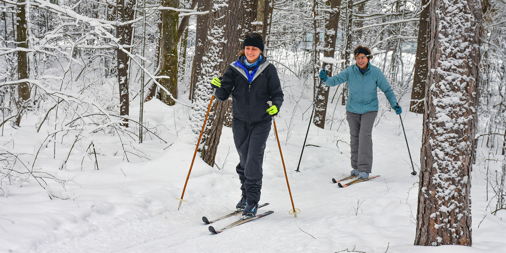
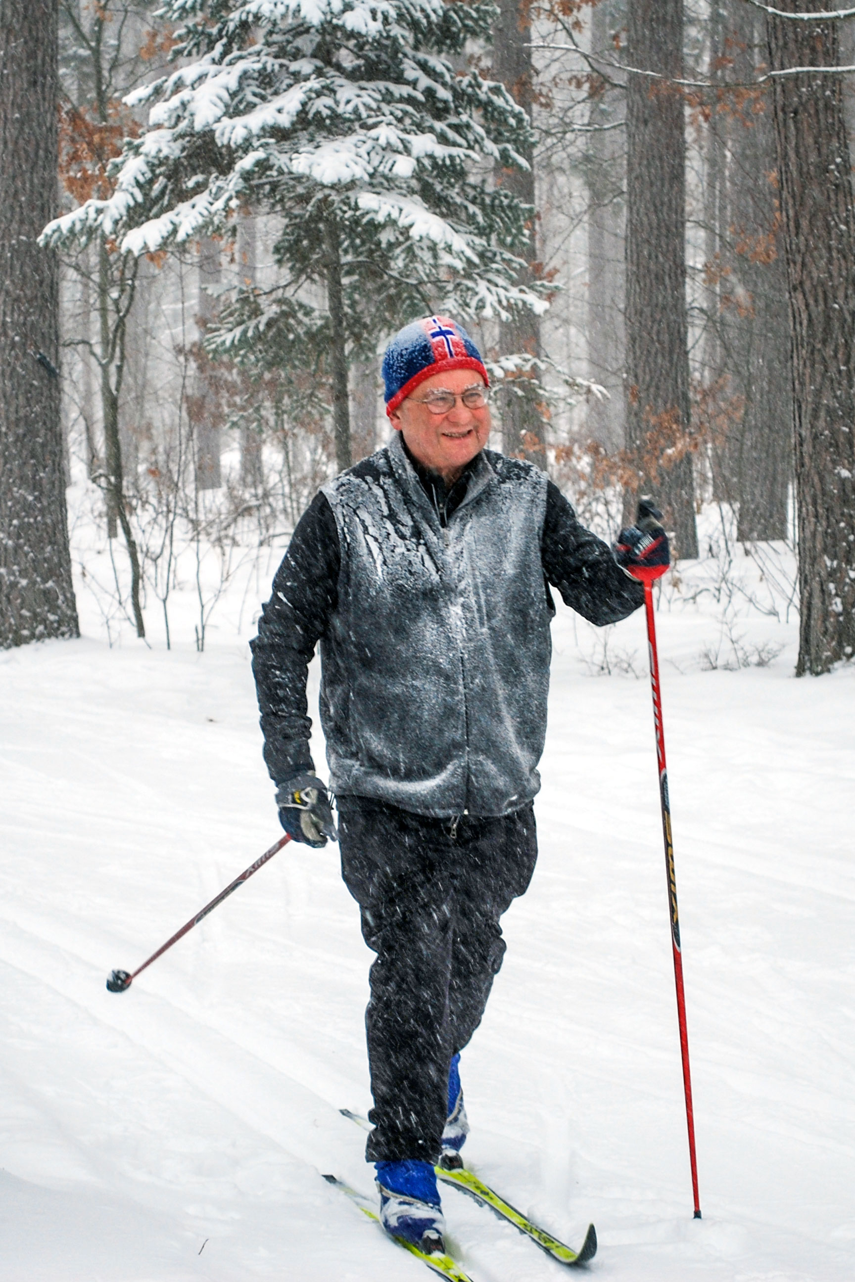
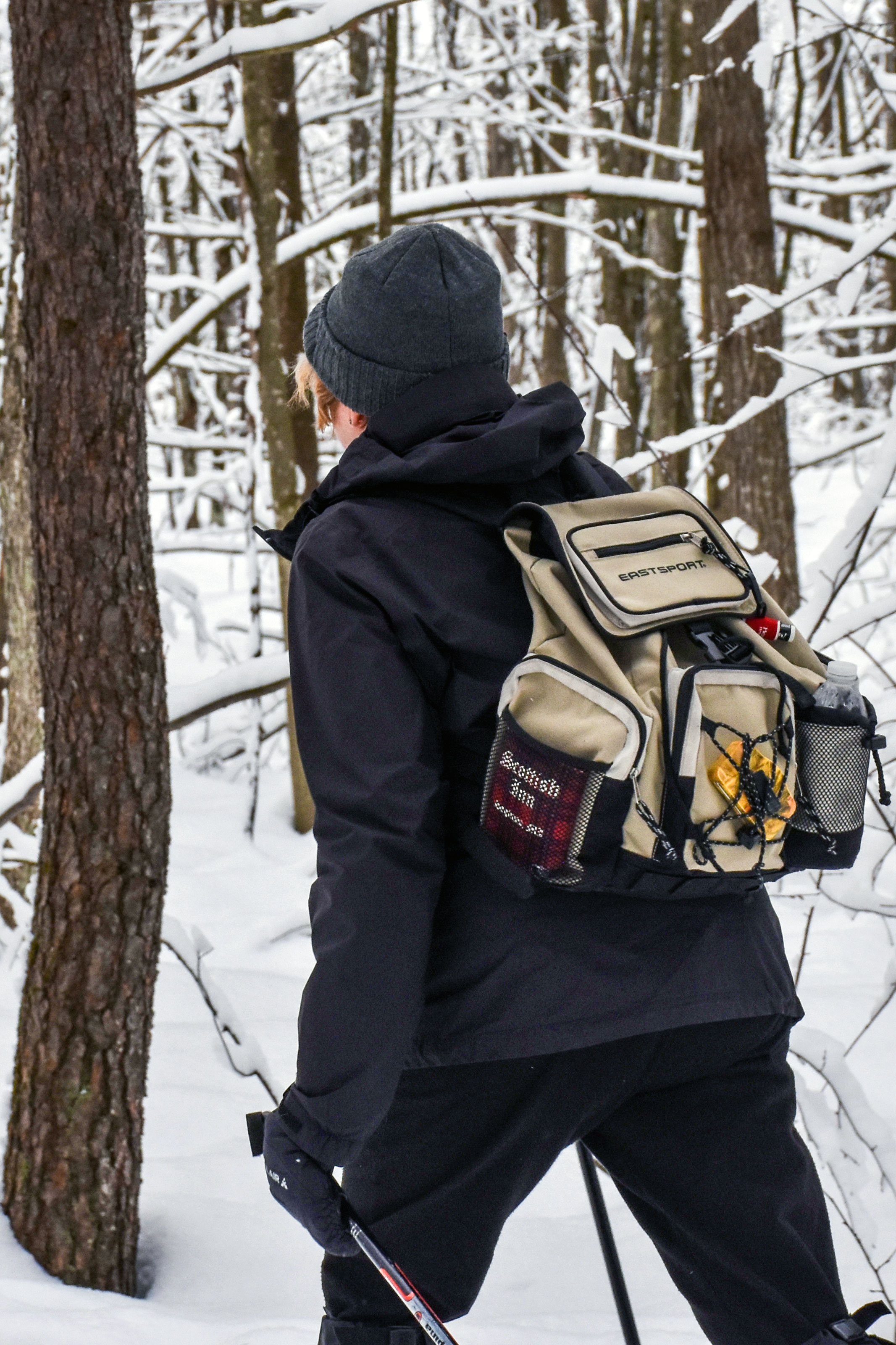
Michigan may not be known for mountainous terrain, but it does offer some of the best cross country skiing in the country great for both fun and exercise. More than 3,000 miles of trails stretch across the state.

Area Trails
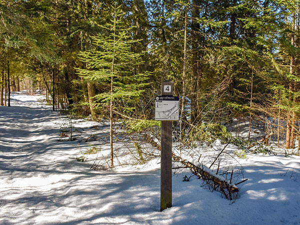
Indian Lake State Park Trails
Hiking / Cross-Country Skiing
Location: 8970 W County Road 442 - Manistique, Michigan 49854
Trail Length: 2 miles
Indian Lake features 2 miles of trails open to hiking, cross-county skiing and snowshoeing. A quarter-mile, paved, accessible trail with lake overlooks runs along Indian Lake in the day-use area. The Dufour Creek Loop includes bridges that cross the Dufour Creek at two locations, and the trail can be very wet seasonally, mainly in the spring and fall.
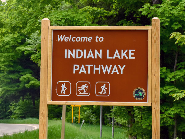
Indian Lake Pathway
Hiking / Cross-Country Skiing / Biking
Trailhead: 9 Miles NW of Thompson via M-149
3 Trail Loops - 1 mile, 3 miles, 4.5 miles
Volunteers groom the trail for cross-country skiing (depending on conditions). The 8.5-mile Indian Lake Pathway is located in the Lake Superior State Forest and consists of three loops. The trail winds through flat and rolling terrain and a variety of woodlands, including hardwoods, hemlock and pines. The trail can be wet during certain times of the year. The trailhead is located off M-149 between Palms Book State Park and County Road 442.
Colwell Lake Trail
Hiking / Cross Country Skiing / Snowshoeing
30 miles N of Manistique
Trail Length: 2 miles
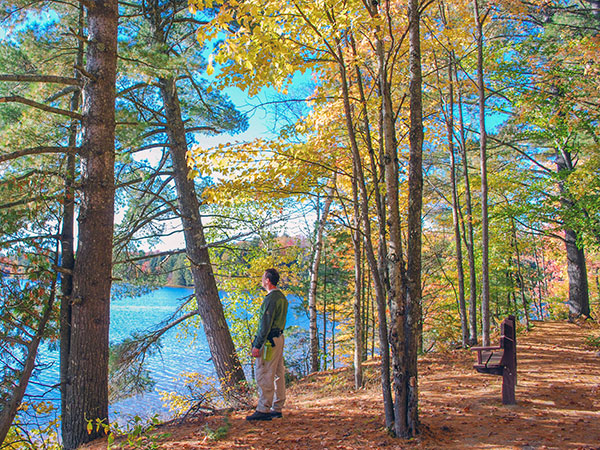
This 2 mile long loop trail meanders along the edge of Colwell Lake and is surfaced to be fully accessible to people with mobility impairments. The trail is particularly stunning in the fall, and also is popular in the winter as a snowshoe trail.
Ashford Lake Pathway
Hiking / Cross Country Skiing
16 miles N of Manistique on M-94
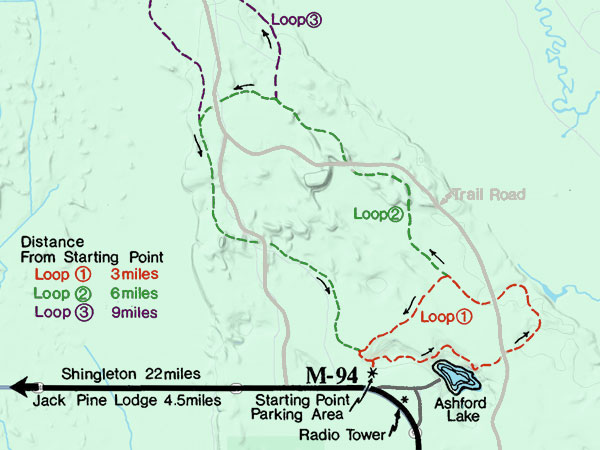
3 Trail Loops - 3 miles, 6 miles, 9 miles
Ashford Lake Pathway is known more for its cross country skiing than its summer and fall hiking. That’s ok because that means its another secret that only a few know about.
Bruno's Run Trail
Hiking / Biking / Horse Riding / Cross Country Skiing / Snowshoeing
36 miles NW of Manistique on Forest Highway 13
Trail Length: 9 miles
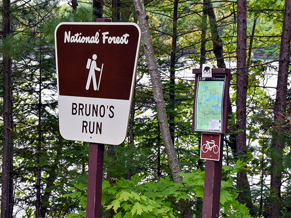
The 9 mile loop Bruno's Run Trail winds its way past a host of small lakes etched in this relatively young glacial plain, taking hikers, bicyclists, snowshoers and skiers over gently rolling country. Further along, the trail runs over foothills, along overlooks and through valleys. The many lakes and streams in the area as well as a variety of trees and other plants make it likely that those traveling the trail will spot wildlife or tracks. If you are alert, you are sure to have an enjoyable outing.
Fayette Historic State Park Trails
Hiking / Cross Country Skiing
4785 II Road - Garden MI, 49835
Trail Length: 5 miles
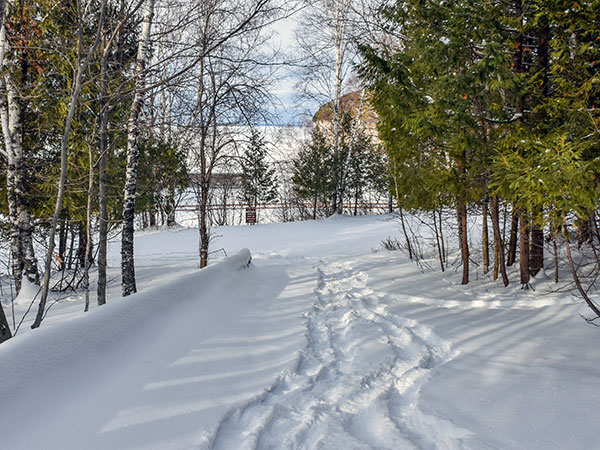
Approximately five miles of hiking trails — also available for cross country skiing in the winter — wind throughout the historic site and through a hardwood forest providing fantastic glimpses of adjoining Snail Shell Harbor or Big Bay de Noc. Another highlight is hiking atop the Fayette bluff for a scintillating view of the harbor and townsite. The blue water and sky and the white limestone cliffs also provide excellent photo opportunities.
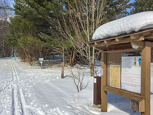
Munising Ski & Snowshoe Trails
Cross Country Skiing / Snowshoeing
Pictured Rocks National Lakeshore
Trail Length: 12 miles
Pictured Rocks National Lakeshore offers two groomed and tracked cross-country ski trail areas with multiple loops. Munising ski trail loops can be accessed from two parking lots (see map). The interconnecting groomed trail loops total 10.4 miles. An additional ungroomed trail loop (G) that skiers share with snowshoers is 1.9 miles. Be aware that trail loops A and B cross a snowmobile trail at four locations - listen and watch for approaching snowmobiles before crossing. The Munising ski and snowshoe trails wind through a variety of habitats of beech, maple and conifer forests and old fields. Some trails offer views of Lake Superior. We hope you find the marked trails challenging and fun.
