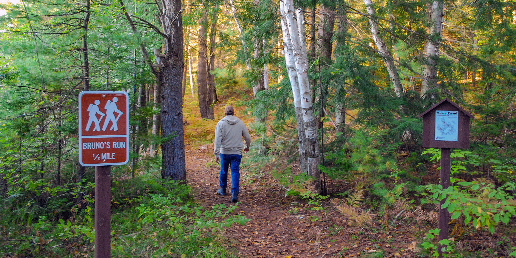
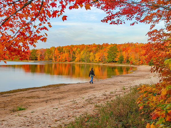
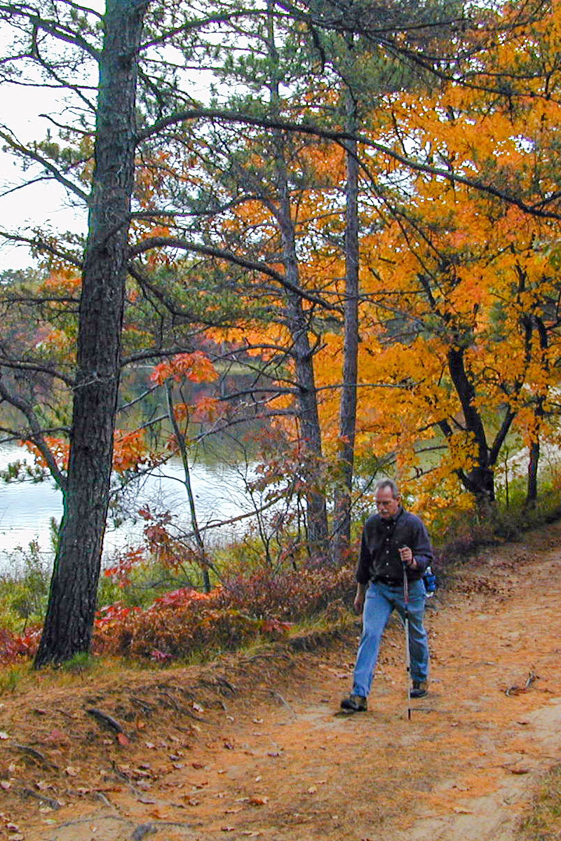
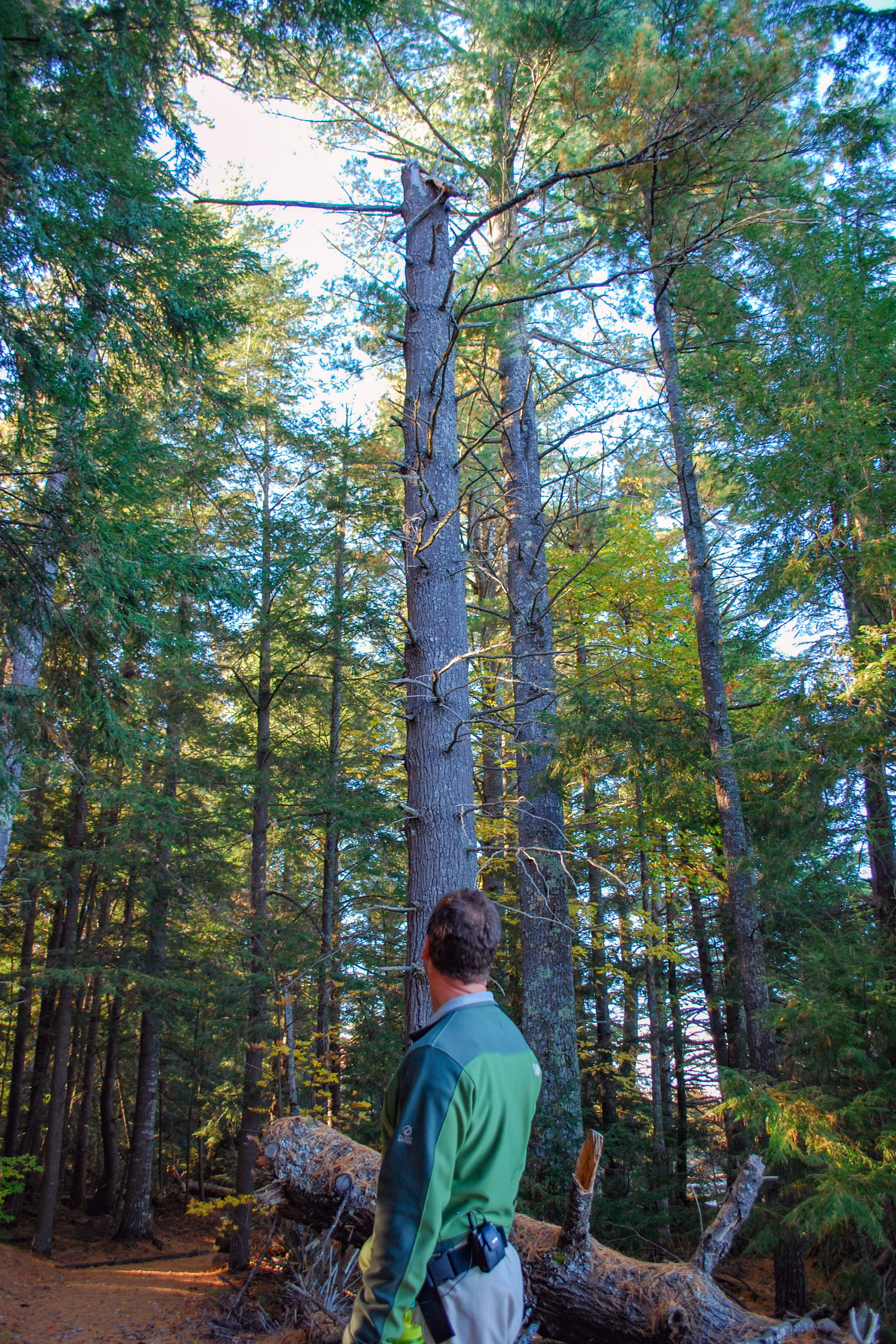
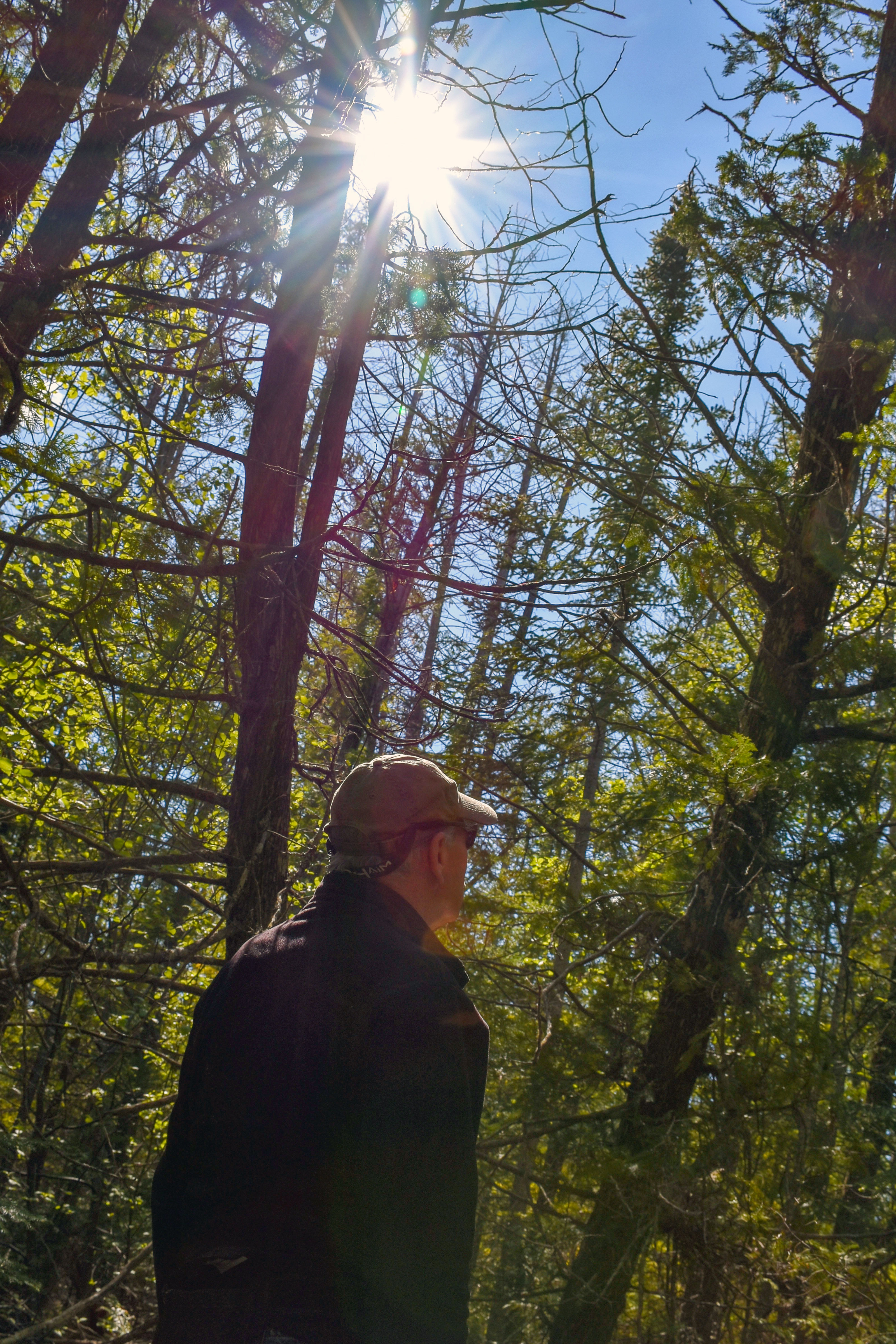
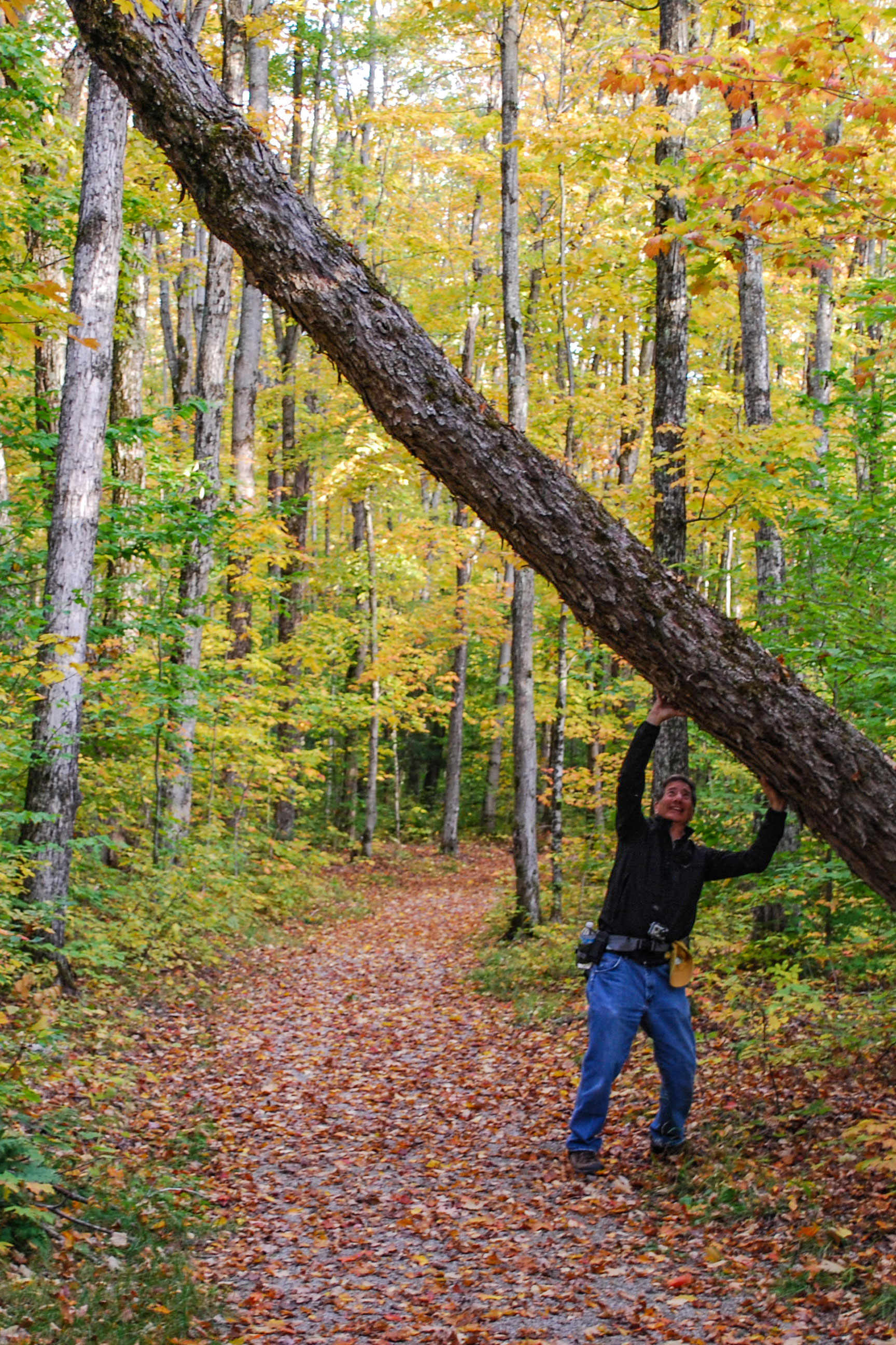
With thousands of miles of hiking and biking trails—plus an extensive network of equestrian trails—it's easy to see why Michigan is considered the #1 trail state in the nation. Schoolcraft County has a variety of trails from rugged wilderness beauty to paved strolling paths and boardwalk treks. Take a hike through the woods - listening to the chorus of bird songs; seeking out spring wildflowers; witnessing the vibrant colors of fall; and, embracing the sweet smelling earth.

Area Trails
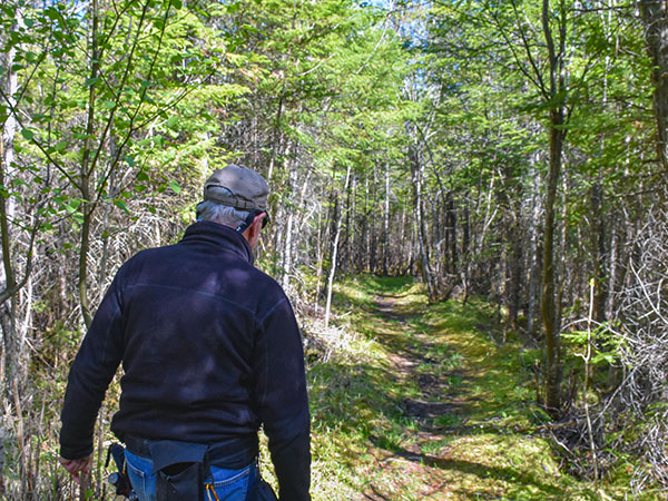
Indian Lake State Park Trails
Hiking / Cross-Country Skiing
Location: 8970 W County Road 442 - Manistique, Michigan 49854
Trail Length: 2 miles
Indian Lake features 2 miles of trails open to hiking, cross-county skiing and snowshoeing. A quarter-mile, paved, accessible trail with lake overlooks runs along Indian Lake in the day-use area. The Dufour Creek Loop includes bridges that cross the Dufour Creek at two locations, and the trail can be very wet seasonally, mainly in the spring and fall.
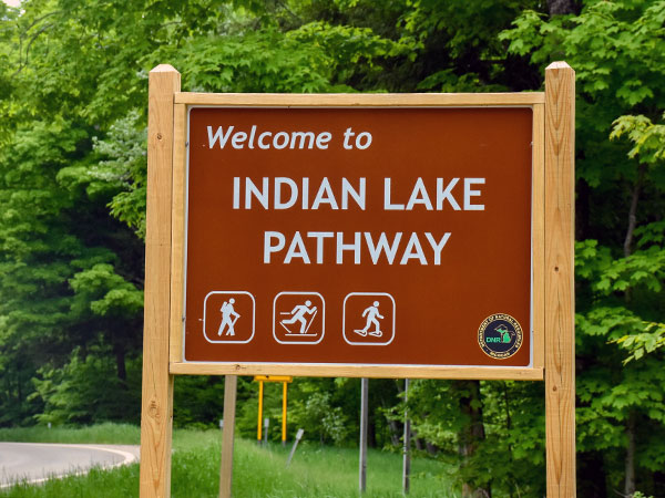
Indian Lake Pathway
Hiking / Cross-Country Skiing / Biking
Trailhead: 9 Miles NW of Thompson via M-149
3 Trail Loops - 1 mile, 3 miles, 4.5 miles
The 8.5-mile Indian Lake Pathway is located in the Lake Superior State Forest and consists of three loops. The trail winds through flat and rolling terrain and a variety of woodlands, including hardwoods, hemlock and pines. The trail can be wet during certain times of the year. The trailhead is located off M-149 between Palms Book State Park and County Road 442.
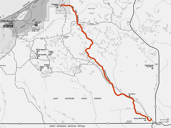
Fox River Pathway
Hiking / Biking
5 Miles NW of Seney
Trail Distance - 27.5 Miles
The Fox River Pathway is a 27.5 mile, point-to-point trail near the Fox River in the Upper Peninsula. Author Ernest Hemingway based his "Big Two Hearted River" on his exploration along this river, which provides excellent trout fishing, as Hemingway describes in his writing. The river was designated a “Wild and Scenic” river in 1988 and hiking this pathway will show you many scenic, natural and historic aspects of the Fox River area. The trail begins five miles north of Seney on County Road 450, near Senery Township Park. The trail leads to Kingston Lake State Forest Campground, just four miles from Pictured Rocks National Lakeshore. The trail is typically a more rigorous hike, so hikers should be prepared for a lot of changing terrain and a relatively difficult journey.
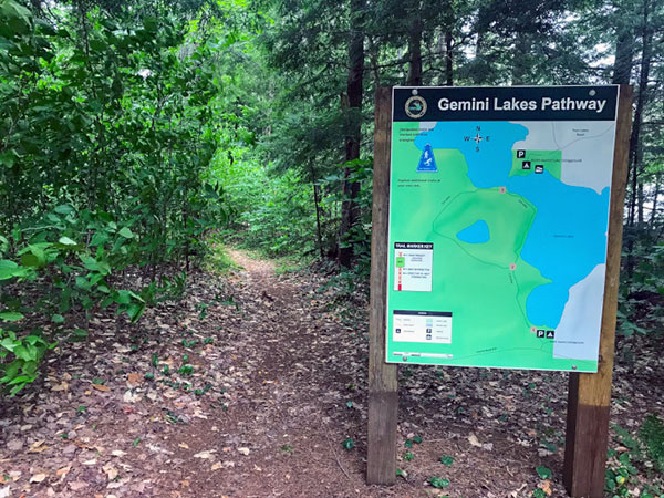
Gemini Lakes Pathway
Hiking / Biking
Lake Superior State Forest (12 miles NE of Melstrand at South Gemini Lake State Forest Campground)
Trail Distance - 1.5 Miles
The Gemini Lake Pathway is a part of the South Gemini Lake State Forest Campground located in the Hiawatha National Forest in the Upper Peninsula. This short, 1.5-mile pathway is enjoyed by hikers from spring to fall. Visitors will wind through the towering trees of the Hiawatha National Forest and catch a glimpse of the picturesque Gemini Lake.
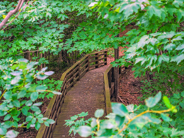
Rainey Wildlife Area
Walking / Viewing Platform
7 Miles NW of Manistique
Trail Distance - .15 Miles
A hiking trail that passes through maple, yellow birch, and mixed conifer habitat takes hikers over boardwalks and through wet areas, leading to an elevated observation platform that provides a feeling of remoteness with outstanding opportunities for viewing wildlife.
Environmental Education Lab
Hiking / Snowshoeing
6 Miles NE of Manistique
Trail Distance - 12 Loops (2.5 total miles)
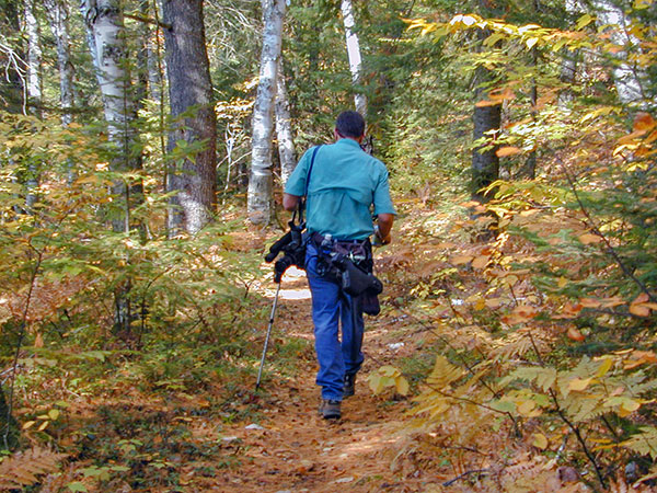
The Environmental Education Laboratory is a system of trails located on 80 acres of wooded township land, a couple of miles east of the town of Manistique. The purpose of the Lab is to provide hiking, nature appreciation and environmental education opportunities for the general public and local schools.
Colwell Lake Trail
Hiking / Cross Country Skiing / Snowshoeing
30 miles N of Manistique
Trail Length: 2 miles
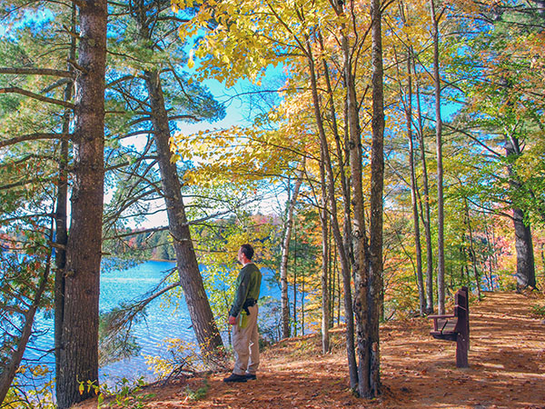
This 2 mile long loop trail meanders along the edge of Colwell Lake and is surfaced to be fully accessible to people with mobility impairments. The trail is particularly stunning in the fall, and also is popular in the winter as a snowshoe trail.
Pine Marten Run Trail
Hiking / Horseback Riding
Hiawatha National Forest - 30 miles NW of Manistique
Trail Length: 26 miles
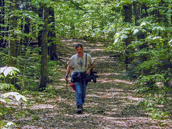
Pine Marten Run is a 26 mile system of hiking and horseback riding trails located in the Ironjaw Semiprivate Area approximately 30 miles northwest of Manistique in Schoolcraft County, Michigan.
Ashford Lake Pathway
Hiking / Cross Country Skiing
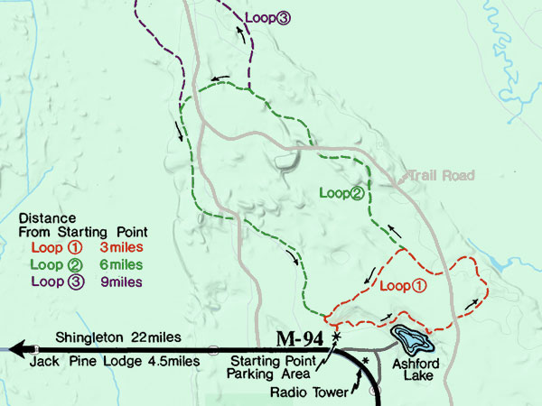
16 miles N of Manistique on M-94
3 Trail Loops - 3 miles, 6 miles, 9 miles
Ashford Lake Pathway is known more for its cross country skiing than its summer and fall hiking. That’s ok because that means its another secret that only a few know about.
Bruno's Run Trail
Hiking / Biking / Horse Riding / Cross Country Skiing / Snowshoeing
36 miles NW of Manistique on Forest Highway 13
Trail Length: 9 miles
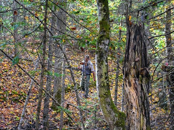
The 9 mile loop Bruno's Run Trail winds its way past a host of small lakes etched in this relatively young glacial plain, taking hikers, bicyclists, snowshoers and skiers over gently rolling country. Further along, the trail runs over foothills, along overlooks and through valleys. The many lakes and streams in the area as well as a variety of trees and other plants make it likely that those traveling the trail will spot wildlife or tracks. If you are alert, you are sure to have an enjoyable outing.
Fayette Historic State Park Trails
Hiking / Cross Country Skiing
4785 II Road - Garden MI, 49835
Trail Length: 5 miles
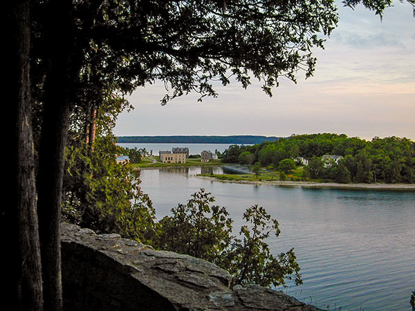
Approximately five miles of hiking trails — also available for cross country skiing in the winter — wind throughout the historic site and through a hardwood forest providing fantastic glimpses of adjoining Snail Shell Harbor or Big Bay de Noc. Another highlight is hiking atop the Fayette bluff for a scintillating view of the harbor and townsite. The blue water and sky and the white limestone cliffs also provide excellent photo opportunities.
