Manistique Area Snowshoeing

Snowshoeing

Manistique, Michigan area

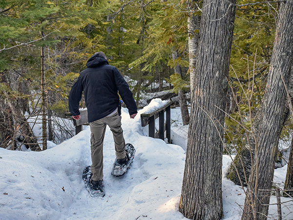
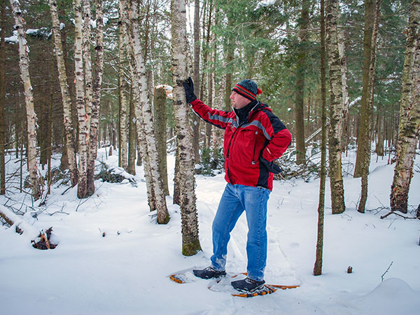
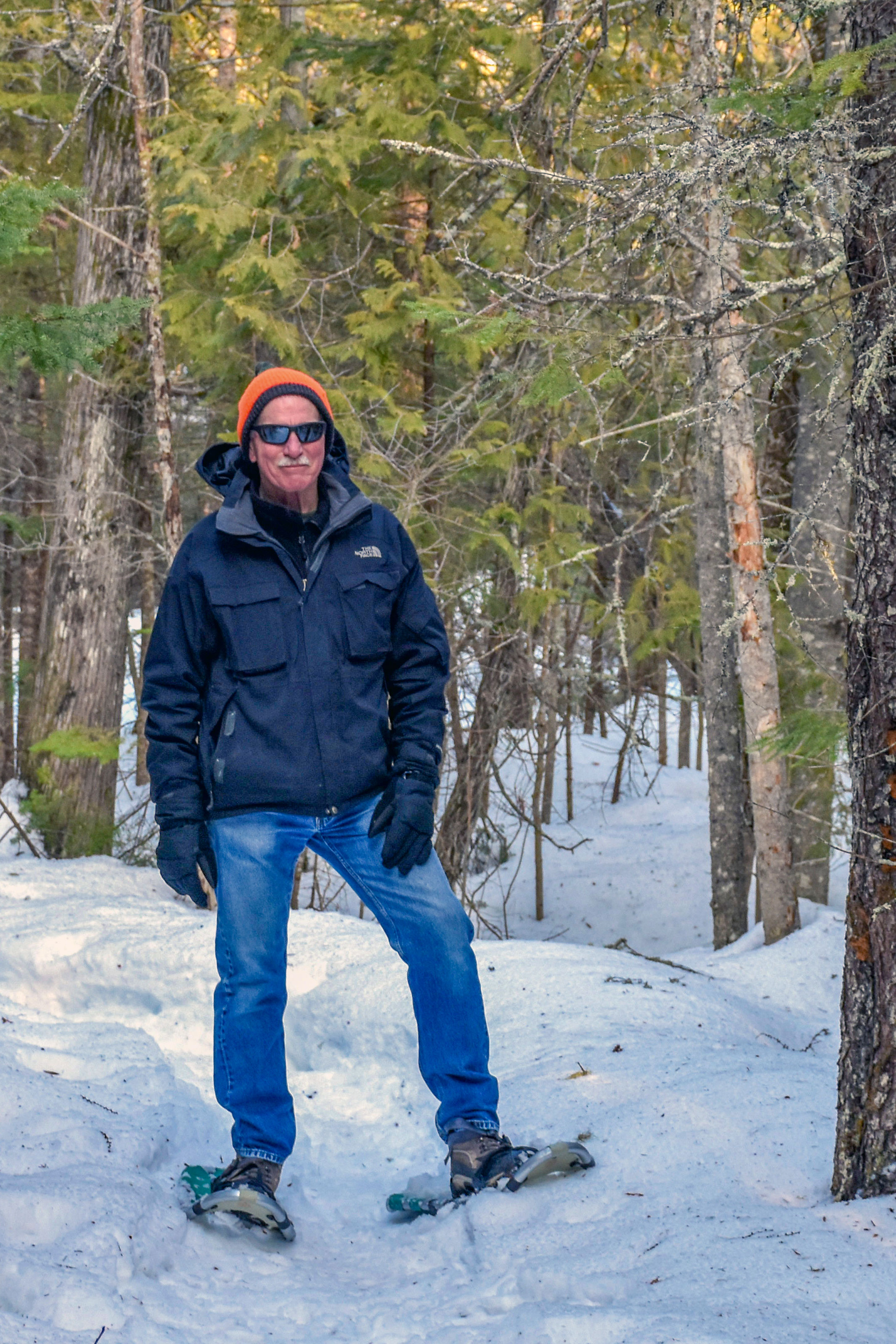
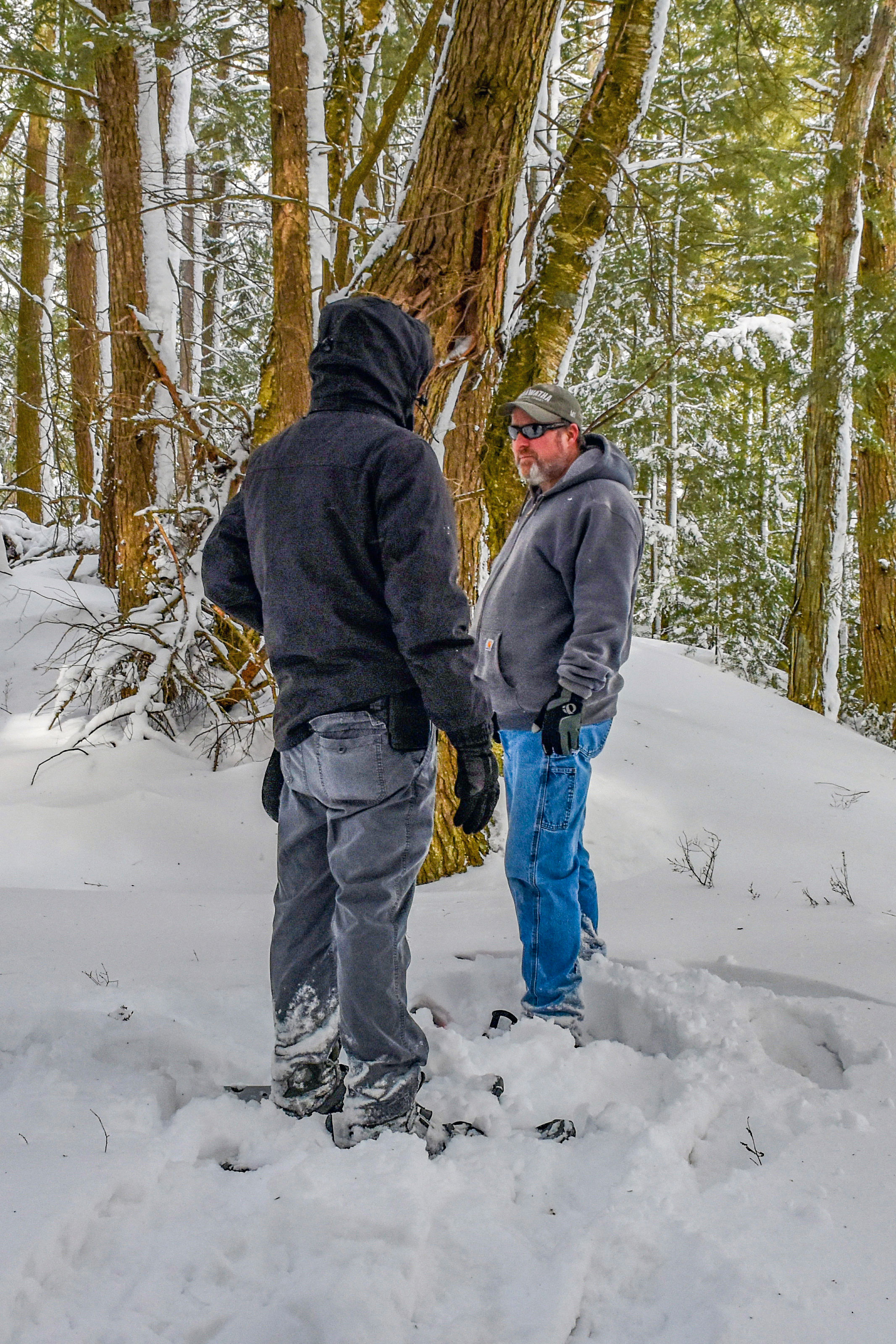
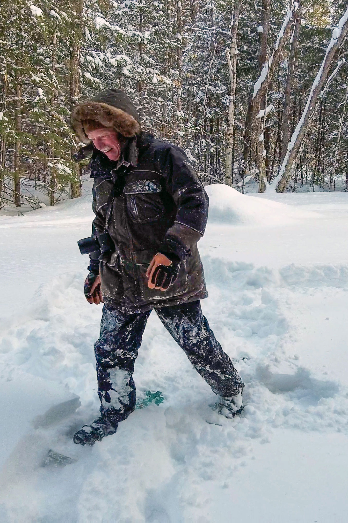
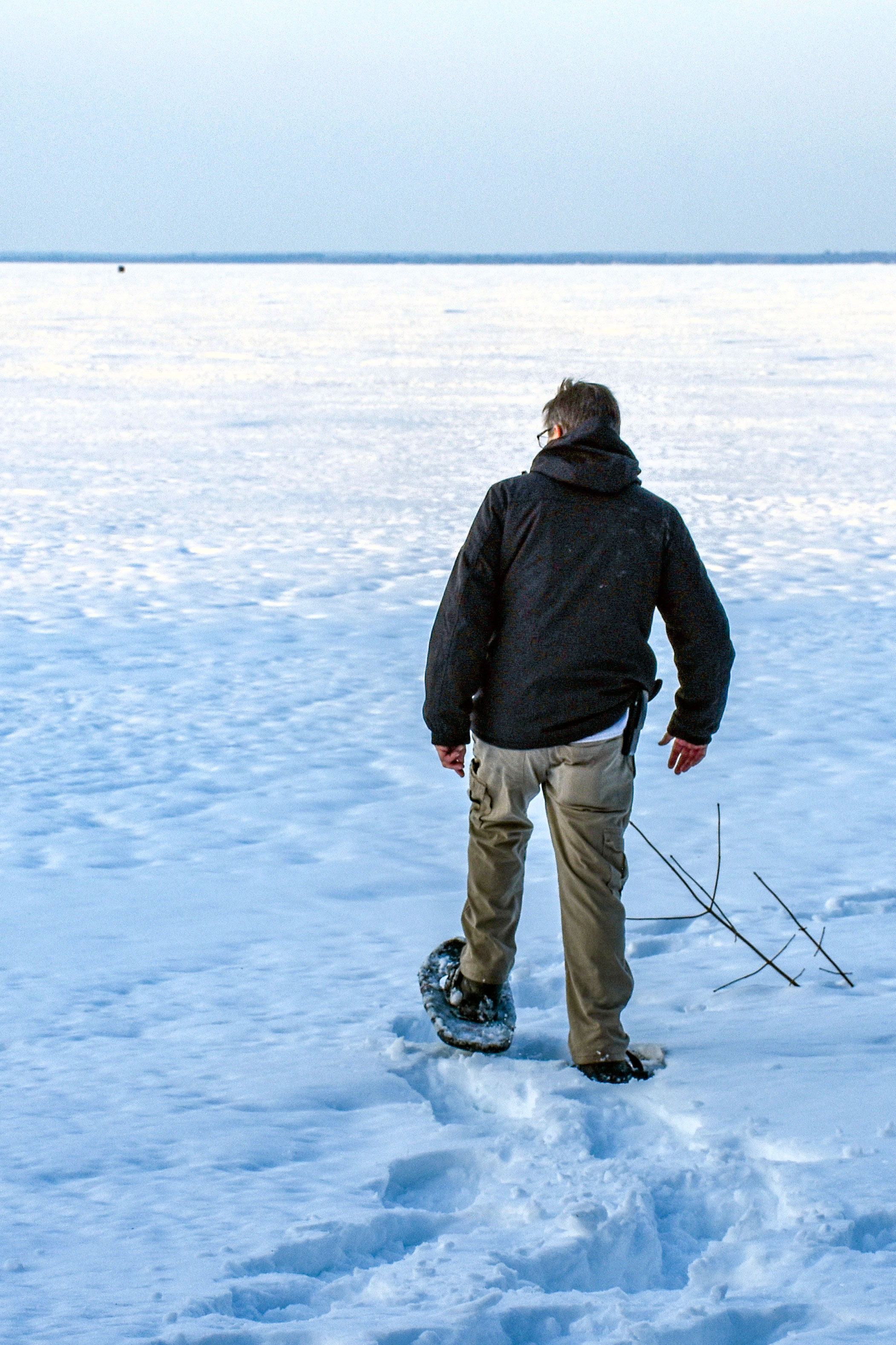
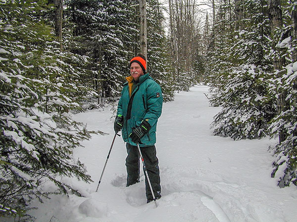
Snowshoeing in Michigan is a great way to see the tranquil beauty of the winter season, offering outdoor enthusiasts and nature lovers a respite among picturesque trails and terrains. One of the oldest forms of transportation, snowshoeing offers a glimpse into our ancient cultures while staying connected with the world around us today.

Snowshoes Manistique

video

Snowshoeing at Fayette Historic State Park

Great Getaways TV

clip from "Great Getaways" episode #1801 "A U.P. Snowshoeing Adventure" - Manistique, Michigan. Fayette was once one of the Upper Peninsula's most productive iron-smelting operations. Located on the Garden Peninsula at Snail Shell Harbor. When the charcoal iron market began to decline, the Jackson Iron Company closed its Fayette smelting operation in 1891. It is now a completely restored village including 22 historic buildings, museum exhibits and the visitor center.

Area Trails
Indian Lake State Park
Indian Lake State Park Trails

Hiking / Cross-Country Skiing
Location: 8970 W County Road 442 - Manistique, Michigan 49854
Trail Length: 2 miles

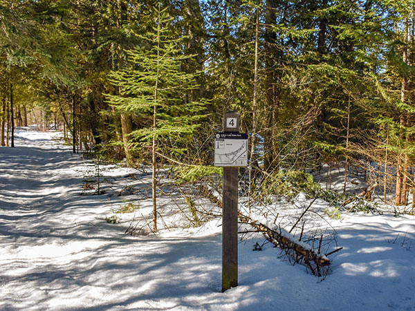
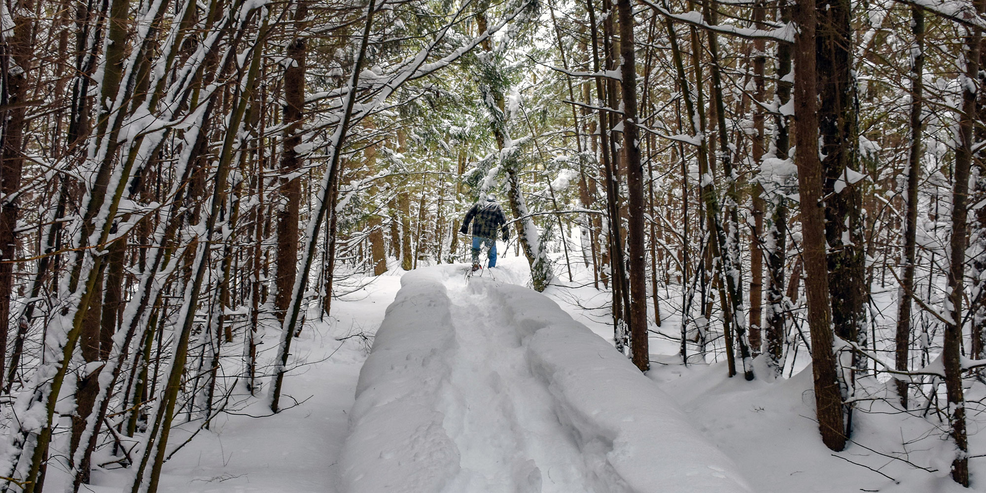
Indian Lake features 2 miles of trails open to hiking, cross-county skiing and snowshoeing. A quarter-mile, paved, accessible trail with lake overlooks runs along Indian Lake in the day-use area. The Dufour Creek Loop includes bridges that cross the Dufour Creek at two locations, and the trail can be very wet seasonally, mainly in the spring and fall.
Indian Lake Pathway
Indian Lake Pathway

Hiking / Cross-Country Skiing / Biking
Trailhead: 9 Miles NW of Thompson via M-149
3 Trail Loops - 1 mile, 3 miles, 4.5 miles

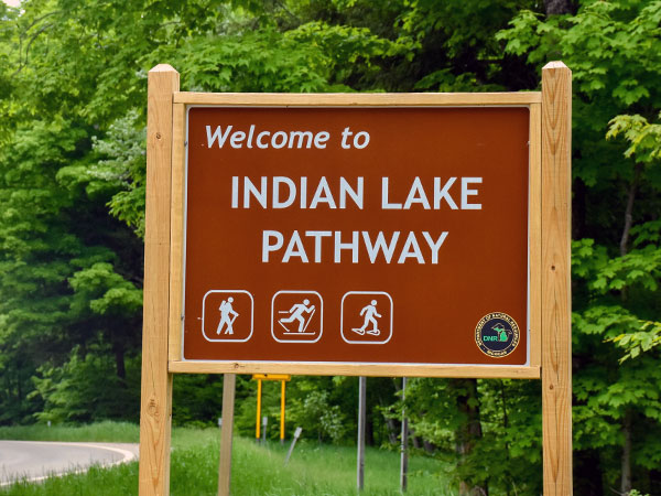
Snowshoers are asked to stay off tracks groomed for cross-country skiing. The 8.5-mile Indian Lake Pathway is located in the Lake Superior State Forest and consists of three loops. The trail winds through flat and rolling terrain and a variety of woodlands, including hardwoods, hemlock and pines. The trail can be wet during certain times of the year. The trailhead is located off M-149 between Palms Book State Park and County Road 442.
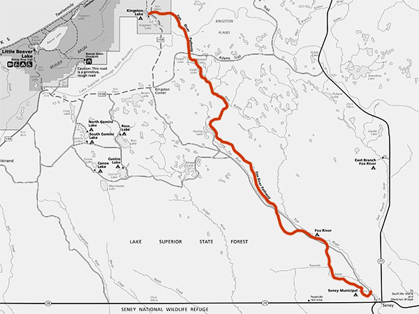
Fox River Pathway
Fox River Pathway

Hiking / Biking
5 Miles NW of Seney
Trail Distance - 27.5 Miles

The Fox River Pathway is a 27.5 mile, point-to-point trail near the Fox River in the Upper Peninsula. Author Ernest Hemingway based his "Big Two Hearted River" on his exploration along this river, which provides excellent trout fishing, as Hemingway describes in his writing. The river was designated a “Wild and Scenic” river in 1988 and hiking this pathway will show you many scenic, natural and historic aspects of the Fox River area. The trail begins five miles north of Seney on County Road 450, near Senery Township Park. The trail leads to Kingston Lake State Forest Campground, just four miles from Pictured Rocks National Lakeshore. Trails are not groomed, but please be courteous and avoid cross-country ski tracks if visible.
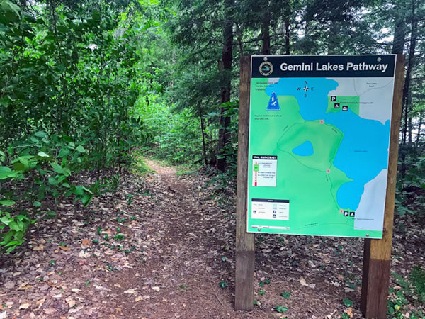
Gemini Lakes Pathway

Hiking / Biking
Lake Superior State Forest (12 miles NE of Melstrand at South Gemini Lake State Forest Campground)
Trail Distance - 1.5 Miles

The Gemini Lake Pathway is a part of the South Gemini Lake State Forest Campground located in the Hiawatha National Forest in the Upper Peninsula. This short, 1.5-mile pathway is enjoyed by hikers from spring to fall. Visitors will wind through the towering trees of the Hiawatha National Forest and catch a glimpse of the picturesque Gemini Lake.
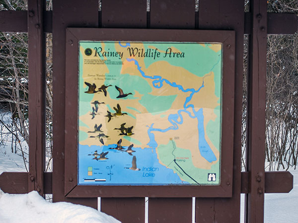
Rainey Wildlife Area

Walking / Viewing Platform
7 Miles NW of Manistique
Trail Distance - .15 Miles

A hiking trail that passes through maple, yellow birch, and mixed conifer habitat takes hikers over boardwalks and through wet areas, leading to an elevated observation platform that provides a feeling of remoteness with outstanding opportunities for viewing wildlife.
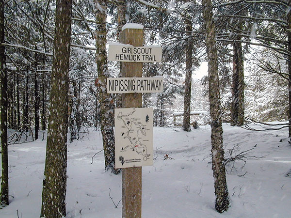
Environmental Education Laboratory
Environmental Education Lab

Hiking / Snowshoeing
6 Miles NE of Manistique
Trail Distance - 12 Loops (2.5 total miles)

The Environmental Education Laboratory is a system of trails located on 80 acres of wooded township land, a couple of miles east of the town of Manistique. The purpose of the Lab is to provide hiking, nature appreciation and environmental education opportunities for the general public and local schools.

video

Snowshoeing at Environmental Education Lab

Great Getaways TV

clip from "Great Getaways" episode #8055 "Frozen Stiff" - Michigan's Upper Peninsula. The Environmental Lab's purpose is for the environmental education of youths. The property is located within three miles of most of the county's schools and contains a wide variety of flora, fauna, topography, soils and stages of succession. Three state and federal grants, supported with local donations to match have allowed the project to develop and be successful.
Colwell Lake Trail
Colwell Lake Trail

Hiking / Cross Country Skiing / Snowshoeing
30 miles N of Manistique
Trail Length: 2 miles

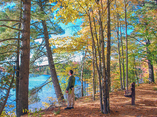
This 2 mile long loop trail meanders along the edge of Colwell Lake and is surfaced to be fully accessible to people with mobility impairments. The trail is particularly stunning in the fall, and also is popular in the winter as a snowshoe trail.
Pine Marten Run Trail

Hiking / Horseback Riding
Hiawatha National Forest - 30 miles NW of Manistique
Trail Length: 26 miles

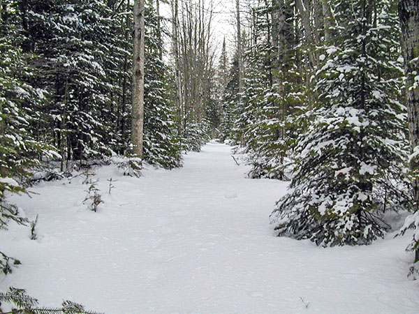
Pine Marten Run is a 26 mile system of hiking and horseback riding trails located in the Ironjaw Semiprivate Area approximately 30 miles northwest of Manistique in Schoolcraft County, Michigan.
Ashford Lake Pathway

Hiking / Cross Country Skiing
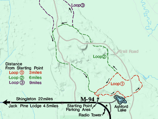
16 miles N of Manistique on M-94
3 Trail Loops - 3 miles, 6 miles, 9 miles

Ashford Lake Pathway is known more for its cross country skiing than its summer and fall hiking. That’s ok because that means its another secret that only a few know about.
Bruno's Run Trail
Bruno's Run Trail

Hiking / Biking / Horse Riding / Cross Country Skiing / Snowshoeing
36 miles NW of Manistique on Forest Highway 13
Trail Length: 9 miles

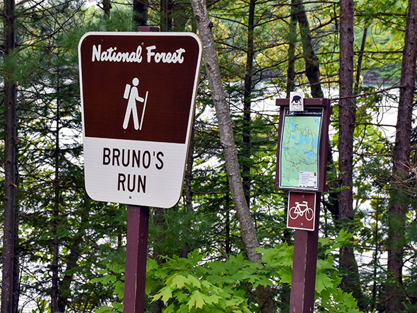
The 9 mile loop Bruno's Run Trail winds its way past a host of small lakes etched in this relatively young glacial plain, taking hikers, bicyclists, snowshoers and skiers over gently rolling country. Further along, the trail runs over foothills, along overlooks and through valleys. The many lakes and streams in the area as well as a variety of trees and other plants make it likely that those traveling the trail will spot wildlife or tracks. If you are alert, you are sure to have an enjoyable outing.
Fayette Historic State Park
Fayette Historic State Park Trails

Hiking / Cross Country Skiing
4785 II Road - Garden MI, 49835
Trail Length: 5 miles

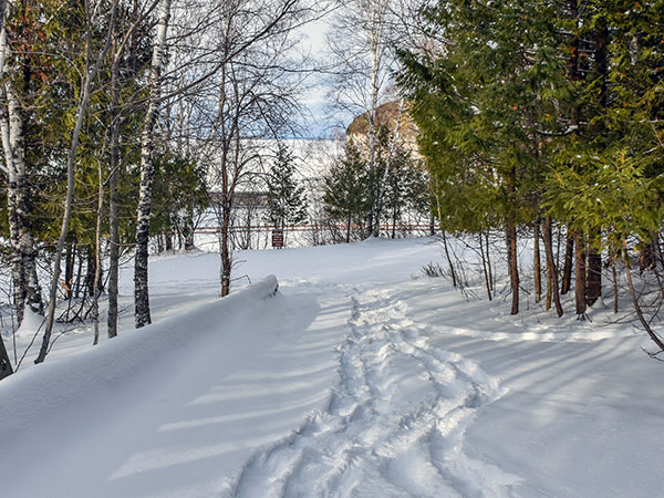
Approximately five miles of hiking trails — also available for cross country skiing in the winter — wind throughout the historic site and through a hardwood forest providing fantastic glimpses of adjoining Snail Shell Harbor or Big Bay de Noc. Another highlight is hiking atop the Fayette bluff for a scintillating view of the harbor and townsite. The blue water and sky and the white limestone cliffs also provide excellent photo opportunities.
Maywood History Trail

Hiking
9 miles S of Rapid River
Trail Length: .9 miles

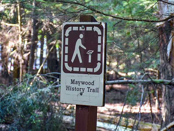
This hard-packed, easily accessible trail takes the visitor through a 200 year old hemlock forest on the shore of Little Bay de Noc. Because of its geographic setting, the area was a focal point of human activity and includes Native American sites and the foundations of an old resort hotel complex. Abundant historic photographs and oral history quotations on interpretive signs tell the Maywood story.
Munising Ski & Snowshoe Trails

Cross Country Skiing / Snowshoeing
Pictured Rocks National Lakeshore
Trail Length: 12 miles

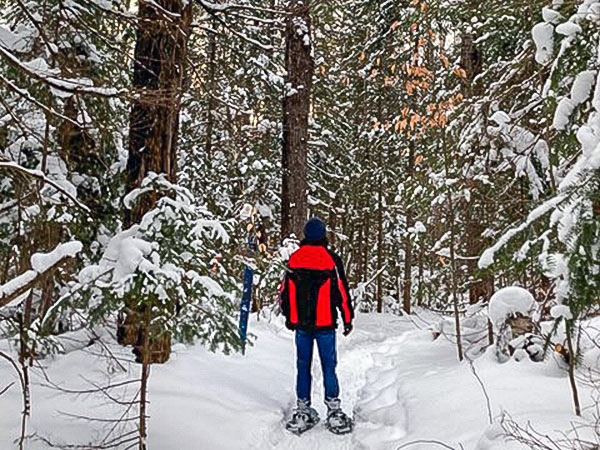
Pictured Rocks National Lakeshore offers two groomed and tracked cross-country ski trail areas with multiple loops. Munising ski trail loops can be accessed from two parking lots (see map). The interconnecting groomed trail loops total 10.4 miles. An additional ungroomed trail loop (G) that skiers share with snowshoers is 1.9 miles. Be aware that trail loops A and B cross a snowmobile trail at four locations - listen and watch for approaching snowmobiles before crossing. The Munising ski and snowshoe trails wind through a variety of habitats of beech, maple and conifer forests and old fields. Some trails offer views of Lake Superior. We hope you find the marked trails challenging and fun.

video

Snowshoeing at Environmental Education Lab

Great Getaways TV

clip from "Great Getaways" episode #7724 "Snowshoes Way Up North" - Manistique, Michigan. The Environmental Lab's purpose is for the environmental education of youths. The property is located within three miles of most of the county's schools and contains a wide variety of flora, fauna, topography, soils and stages of succession. Three state and federal grants, supported with local donations to match have allowed the project to develop and be successful.
Indian Lake State Park
Manistique Hiking Trails
Colwell Lake

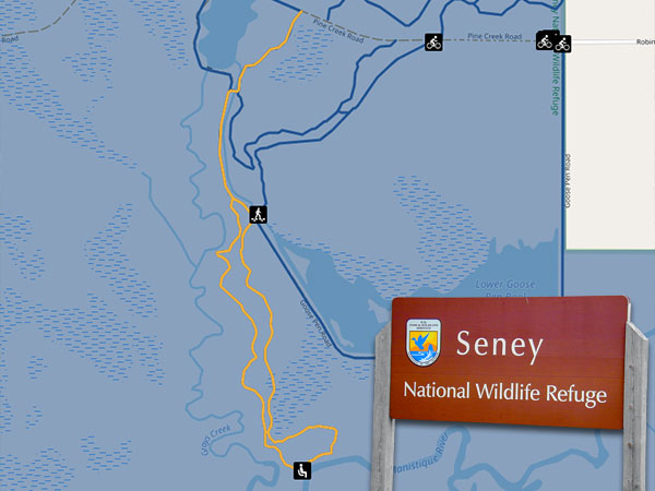
Seney National Wildlife Refuge Trails

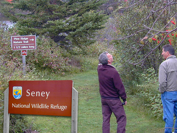
Seney National Wildlife Refuge has over 12 miles of trails located off the main campus, at the Show Pool Shelters and off of Robinson Road. All trails are open year round to nature enthusiasts, photographers, hikers and runners.

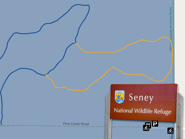
Manistique River Run Trail

Hiking / Biking / X-Country Skiing / Snowshoeing

Location: Access from the Robinson Road parking lot and gate
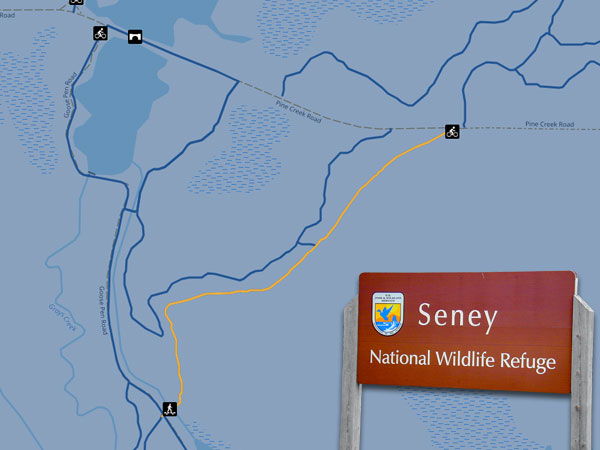
Trail: 2.3 mile loop
Open: Year-round (groomed ski trail during winter). Daylight use only

This beautiful trail partially follows Gray’s Creek and extends to the Manistique River before looping around and heading back to the Pine Creek Road. The trail travels on both foot path, and a 2-track dirt road. The section beyond the 2-track road is a loop that travels through mixed forest, along the edge of open land, and alongside rivers. During the spring enjoy a host of wildflowers that dot the forest floor. Summer brings a forest of ferns, beaver activity and small perching birds. Enjoy the fall colors while looking for interesting fungi. In winter otter trails cross the snow in a dot, dot, dash pattern where the playful otters run and slide. The trail is mostly flat with a few hills to add a little spice for skiers.

Seney Wildlife Refuge
Pine Ridge Nature Trail

Hiking / X-Country Skiing / Snowshoeing

Location: Trailhead is located at the old visitor center.
Trail: 1.4 miles
Open: Year-round (groomed ski trail during winter). Daylight use only

Take this winding path around Upper F Pool. The first quarter mile of the trail is packed crushed gravel leading to a wheel-chair accessible observation deck. Watch for signs of beaver activity as you walk. They are quite active and enjoy building dams near our bridges. The trail offers beautiful views of Upper F and I Pools where you can see trumpeter swans, geese, ducks and loons. After the observation deck the trail surface shifts to native vegetation and dirt. It passes through mixed hardwood pine forest, includes sections of boardwalk through wetland, travels through a red pine forest and along the edge of I pool. The trail ends near the fire tower. In the spring be sure to wear long sleeves, a head net and bug spray – this trail is notorious for thirsty mosquitoes.

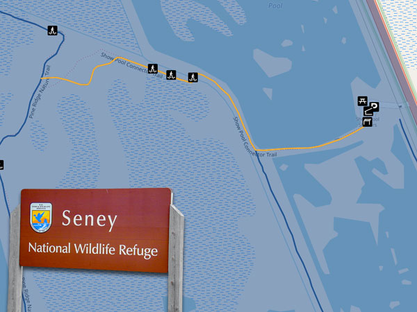
Show Pools Connector Trail

Hiking / Cross-Country Skiing / Snowshoeing

Location: Trailhead is at the Show Pool Shelter access site or along the Pine Ridge Nature Trail
Trail Length: 0.4 miles
Open: Year-round. Daylight use only.

This extension, off the Pine Ridge Nature Trail, takes you to the Show Pools and Show Pool Shelter Access Point north of the visitor center. The trail travels through mixed forest, through a dip that requires using several old stone steps, over a section of the ditch system and between two pools. NOTE: The section that runs between the North and South Show Pools is currently CLOSED due to a breach in the dike; take the South Show Pool trail - which adds about a mile to the distance between the Pine Ridge Nature Trail and the Show Pool Shelter. The Show Pool Shelter was built by the Civilian Conservation Corps in the late 1930s. Over the years it has had several types of coverings: an original covering that looked similar to birch bark, asphalt shingles and finally cedar shingles.

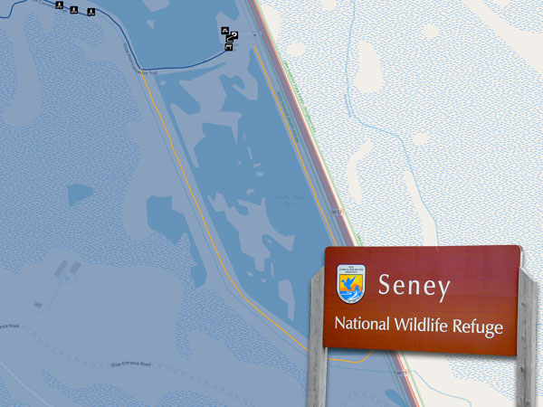
South Show Pool Trail

Hiking / Cross-Country Skiing / Snowshoeing

Location: Depart from the Show Pool Shelters.
Trail Length: 1 mile
Open: Year-round (Show Pool Shelter gate is closed in the winter). Daylight use only.

Take a walk around the South Show Pool. This trail offers views of part of the refuge’s pool system and historic water control structures put in by the Civilian Conservation Corps in the 1930s and 1940s.

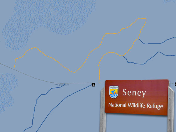
Bear Hollow Loop Trail

Hiking / Cross-Country Skiing / Snowshoeing

Location: Access from the Robinson Road parking lot and gate.
Trail Length: 1.1 miles
Open: Year-round (groomed ski trail during winter). Daylight use only.

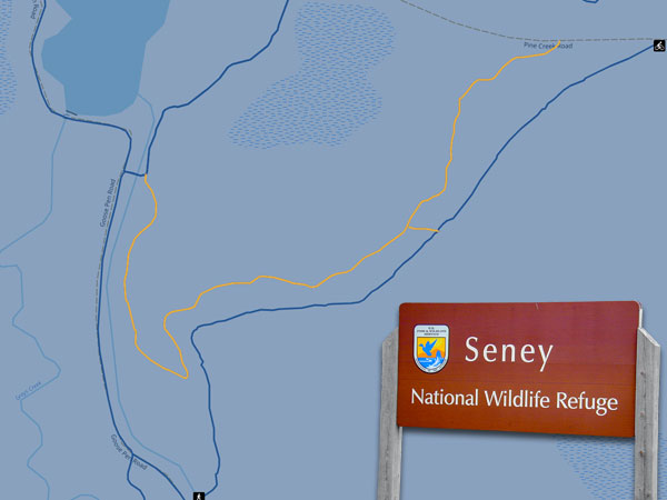
This trail winds up and down through northern hardwoods to a hemlock forest dotted with vernal pools. After the foot path section, the trail follows Pine Creek road back to the trailhead. During the spring or after heavy rains be sure to wear waterproof hiking boots or galoshes. In the spring wildflowers like spring beauty, trout lilies and Dutchman’s breeches dot the forest floor. In summer watch for pileated woodpecker nesting holes in the trees, if you’re lucky you may see a young woodpecker peeking out of a hole. In autumn this is a great place to look for fall fungi. The forest is dotted by interesting mushrooms like waxcaps, puffballs, dead man’s fingers, golden spindles and more. In winter this trail and it’s off-chute, Cub Hollow, provide cross-country skiers with a bit of a challenge.

Cub Hollow Trail
Cub Hollow Trail

Hiking / Cross-Country Skiing / Snowshoeing

Location: Access from the Robinson Road parking lot and gate.
Trail Length: 0.5 miles
Open: Year-round (groomed ski trail during winter). Daylight use only.

Cub Hollow is a branch off the Bear Hollow trail. It travels up and down through hardwood forest adding a bit more challenge to your hike or ski. Keep an eye out for spring wildflowers and cavity nesting birds. Black flies and mosquitoes can be prolific from late spring through late summer. In the fall watch for colorful slime molds on downed trees along this trail; they are frequently sighted along the trail and can be white, black, golden or bubble gum pink in color. When they are on the move, they almost resemble the veins in your body. When they are getting ready to reproduce, they form little fruiting bodies which can resemble a bunch of grapes, little paper lanterns or even honeycombs.

Smith Farm Trail
Smith Farm Trail

Hiking / Cross-Country Skiing / Snowshoeing

Location: Access from the Robinson Road parking lot and gate.
Trail Length: 0.7 miles (one way)
Open: Year-round (groomed ski trail during winter). Daylight use only.

This trail runs one way along an old service road that skirts the historic Smith Farm. For many years, this retired field grew crops to feed wildlife, a practice that was discontinued on the refuge in 1984. The refuge has plenty of natural food sources for wildlife. Today the retired field is slowing changing back into northern hardwood forest.

Skunk Ridge Trail
Skunk Ridge Trail

Hiking / Cross-Country Skiing / Snowshoeing

Location: Access from the Robinson Road parking lot and gate.
Trail Length: 1.2 miles
Open: Year-round (groomed ski trail during winter). Daylight use only.

Take a walk or ski through the hardwoods. This trail runs up, down, and along a ridge, then travels through a flatter section before following Pine Creek road back to the trailhead. If there is a breeze the ridge might provide a bit of relief from biting insects during summer months. It is a great place to look for spring wildflowers and fall fungi.

Otter Run Trail
Otter Run Trail

Hiking / Biking / Cross-Country Skiing / Snowshoeing

Location: Trailhead is at the Robinson Street access site then bike, walk, or ski down Pine Creek Road to the trailhead. The trail is a road so hiking, biking, and skiing are allowed.
Trail Length: 1.8 miles
Open: Year-round. Daylight use only.

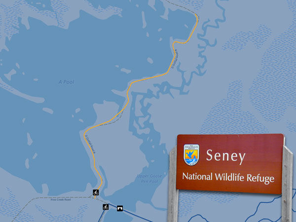
This trail runs alongside the west edge of A Pool and over the bridge that empties A Pool to Gray's Creek. Sights include beautiful vistas, inlets that hide migratory waterfowl and forest scenes. Possible sightings include river otter, beaver, muskrat, common loons, sandhill cranes, wood and ring-necked ducks and Canada geese.

Lower Goose Pen Trail

Hiking / Biking / X-Country Skiing / Snowshoeing

Location: Trailhead is at the Robinson Street access on the south side of the parking lot near the red barn.
Trail: 1.92 miles
Open: Year-round. Daylight use only

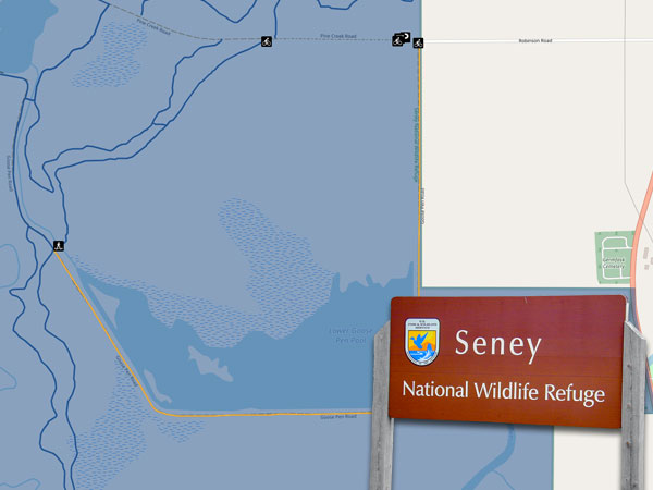
This trail runs along an old farm field and Lower Goose Pen Pool until it meets up with Manistique River Run. It is a great place to look for several species of songbirds including various warbler species, eastern bluebirds, black-capped chickadees, common redpolls and others.

video

Snowshoeing at Pine Marten Run

Great Getaways TV

clip from "Great Getaways" episode #7724 "Snowshoes Way Up North" - Manistique, Michigan. Pine Marten run is a 26 mile system of hiking and horseback riding trails located in the Ironjaw Semiprivate Area. Parking areas are available at each trailhead. And Adirondack shelters, with fire rings, have been constructed at Rim Lake, Rumble Lake and along the Indian River. Water and toilet facilities are available at the C.R. 440 trailhead, while the others only have toilet facilities.


See Other Outdoor Recreation Opportunities

Ask the expertsGet help planning your trip

Stamp

Want to know the best spots in Manistique? How about tips on restaurants, attractions or places to stay? The Manistique Tourism Council can answer your questions, offer advice, or plan the perfect Manistique trip for you. For free.

plinko game